
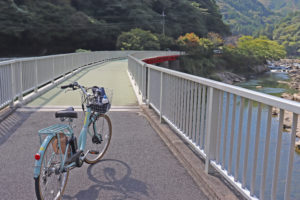
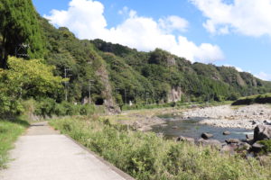
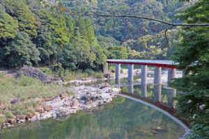
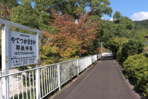
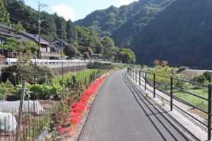
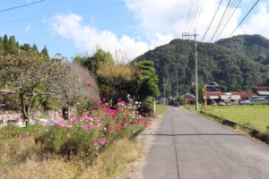
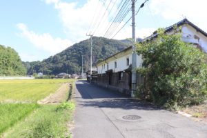
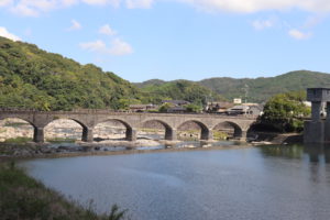
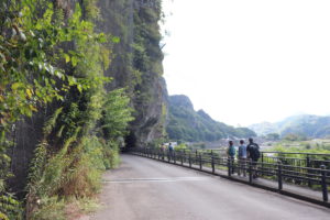
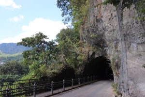
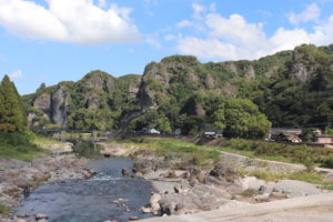
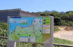
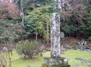
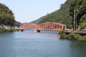
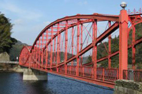
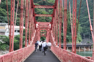
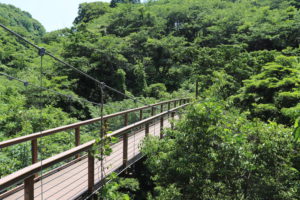
Maple Yaba Cycling Road, in Nakatsu, Oita-prefecture
Maple Yaba Cycling Road is a bicycle path that uses the abandoned Yabakei Railway line and was
established in 1982. As it uses the old railway line, the gradient is gentle and it is a recommended
cycling course for beginners. You can enjoy many scenic spots such as the autumn leaves and
the “Ao no Cave ” made famous by Kikuchi Kan’s “Beyond Gratitude and Revenge”, and it is a cycling
road with a wide variety of routes including tunnels and iron bridges that use the old railway line.
 |
 |
 |
 |
 |
 |
 |
 |
 |
 |
 |
 |
 |
 |
 |
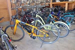
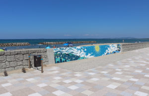
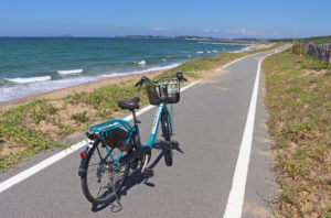
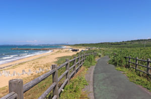
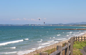
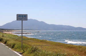
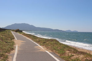
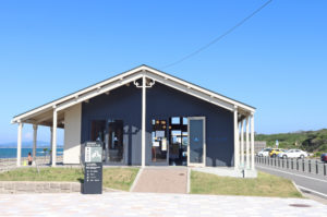
Okagaki Cycling, in Fukuoka-prefecture
Okagaki is located west side of Fukuoka-prefecture and is facing to Genkai Sea. A road dedicated
to bicycle run along the Genkai Sea from Genkai tourist Center to Ashiya, the distance is 7.5 km.
Beautiful scenery of Genkai Sea can be enjoyed.
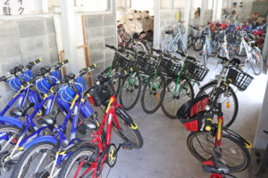
Various rental cycles available at Okagaki Town Tourism Association.
 |
 |
 |
 |
 |
 |
 |
 |
 |
 |
 |
 |
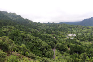
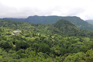
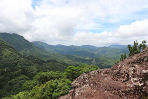
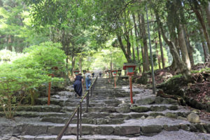
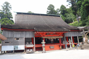
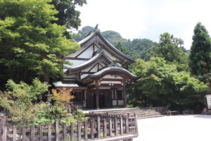
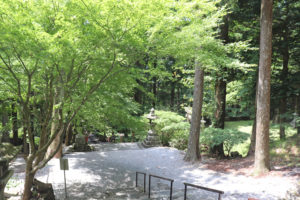
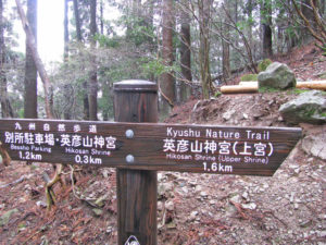
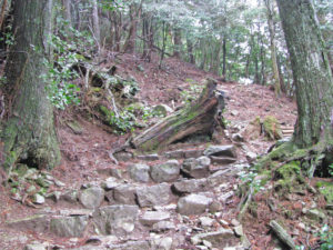
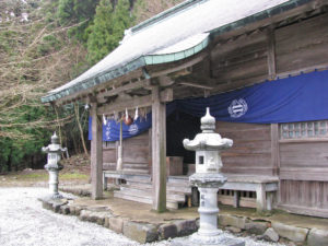
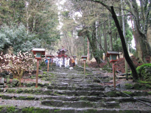
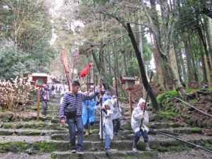
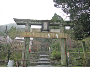
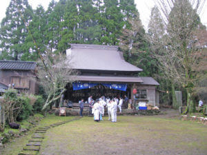
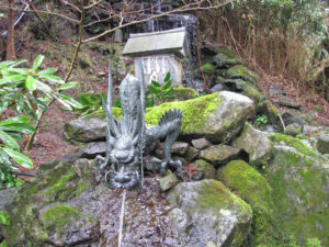
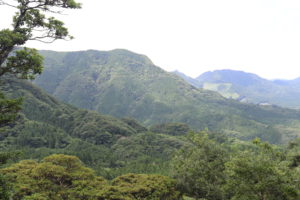
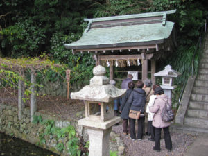
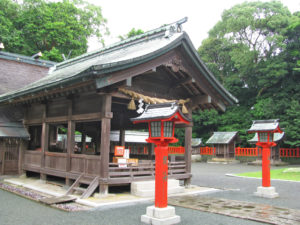
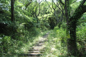
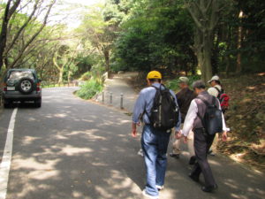
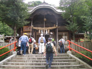
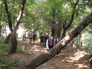
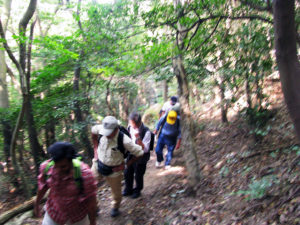
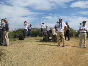
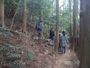
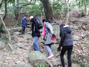
Mount Hiko trekking, in Fukuoka-prefecture
Mount Hiko is a sacred mountain with an elevation of about 1,200m, consisting of three peaks,
located on the border between Soeda, Tagawa, Fukuoka-prefecture and Nakatsu, Oita-prefecture.
It has been worshipped as a sacred mountain since ancient times. In the center of the mountain is
the Hikosan Shrine building, a nationally designated important cultural property, and many people
visit the mountain in autumn, especially as it is a famous spot for viewing autumn leaves.
There are several trekking courses from 3 hours to 6 hours courses.
 |
 |
 |
 |
 |
 |
 |
 |
 |
 |
 |
 |
 |
 |
 |
 |
 |
 |
 |
 |
 |
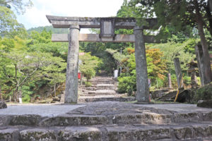
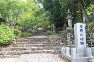
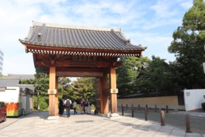
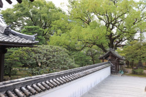
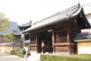
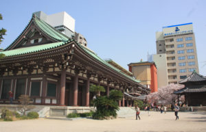
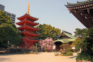
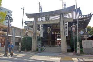
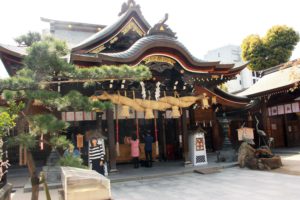
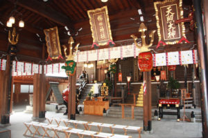
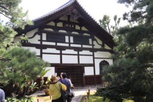
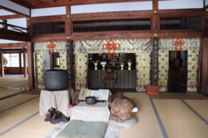
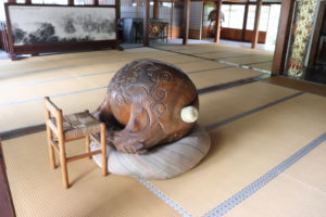
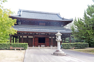
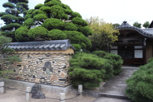
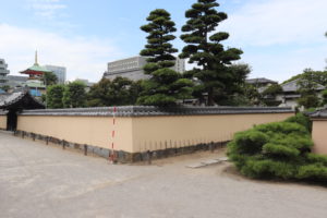
Hakata temple and shrine town trail
Hakata temple and shrine town is located within walking distance of JR ]Hakata Station and there are
many Temples and Shrines where you can feel and soak up the ambience of true traditional Japanese
culture. The history of Hakata temple and shrine town started with the dispatch of Japanese cultural
and political missions to China in the 7th century. Afterwards the area prospered as the hub of Hakata,
which at the time was the largest port trading city in Japan. There are many valuable artefacts and
monuments here, including Tochoji temple, Kushida Shrine, Jotenji temple, Shofukuji temple as well
as Engakuji temple. It is also surprising that Hakata has little recognition for being the origin of many
culinary staples such as Udon and Soba noodles, Manju (steamed bun), Uiro (steamed cake made
of rice flour), and traditional beverages like Japanese green tea.
This important historical area is also the location of Japan’s first Zen-temple and Shingon-temple.
 |
 |
 |
 |
 |
 |
 |
 |
 |
 |
 |
 |
 |
 |
 |
 |
 |
 |
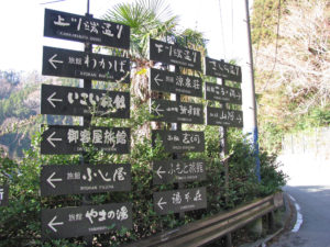
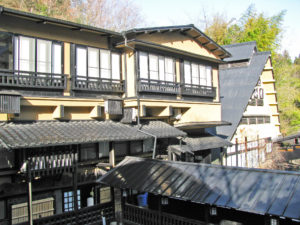
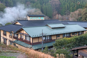
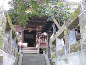
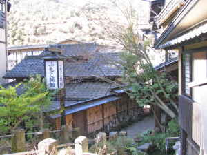
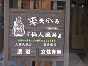
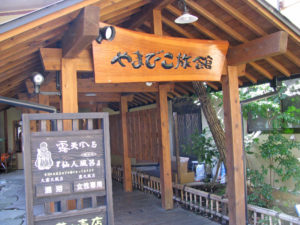
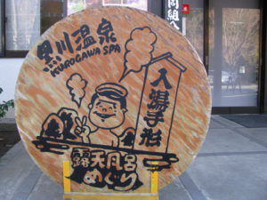
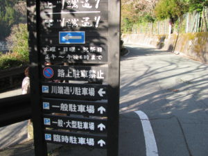
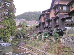
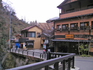
Kurokawa Onsen Trail, in Kumamoto-prefecture
The most popular hot spring resort in Aso region, located on the northern side of Mount Aso.
Widely known for its open-air baths, it is one of the best places to enjoy the atmosphere
of old town in Japan, where more than 20 Inns (Ryokan)and gift shops standing in a row
along the Tanoharu River, a headstream of the Chikugo River.
 |
 |
 |
 |
 |
 |
 |
 |
 |
 |
 |
 |
 |
|
|
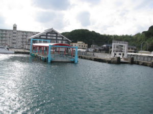
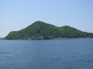
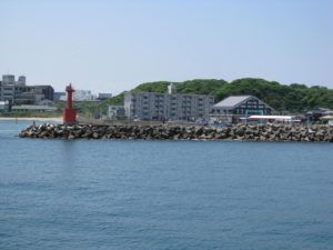
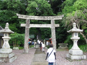
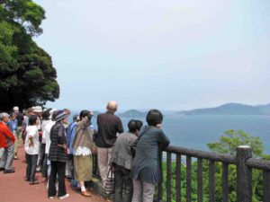
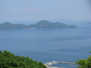
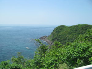
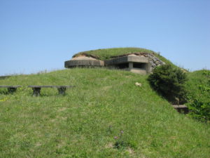
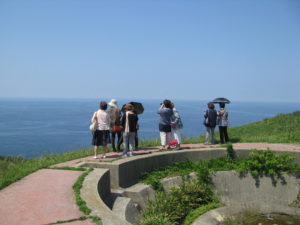
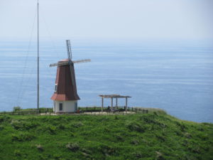
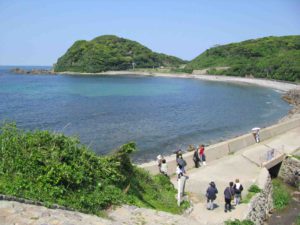
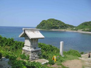
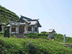
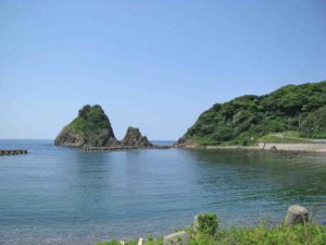
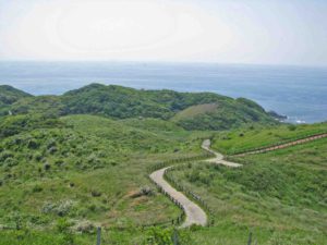
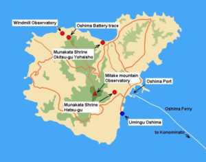
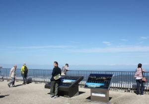
Oshim island Trail, Fukuoka-prefecture
Oshima Island located 11 km from Konominato Port in Munakata-city, and is the largest island in
Fukuoka-prefecture. The population of the island is around 700. It takes 25 minutes by Oshima
ferry and 15 minutes by Shiokaze ferry. There are two World Heritage Shrines, Munakata Shrine
Nakatsu-gu and Munakata Shrine Okitsu-gu Yohaishho, those Shrines are registered as Sacred
Island Okinoshiam and Associated site in the Munakata Region.
You can enjoy beautiful nature at any places where you visit including Windmil Observatory
and Mitake Observatory.
 |
 |
 |
 |
 |
 |
 |
 |
 |
 |
 |
 |
 |
 |
 |
 |
 |
 |
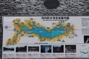
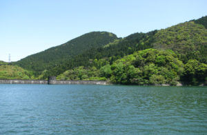
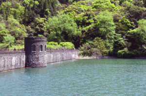
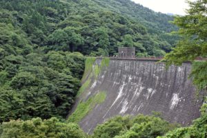
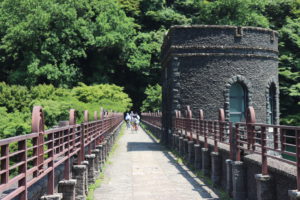
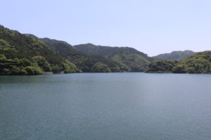
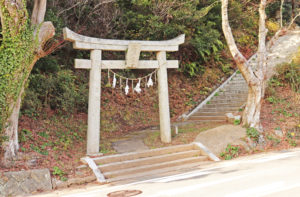
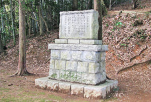
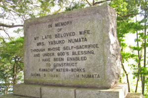
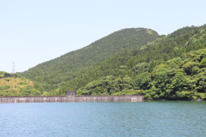
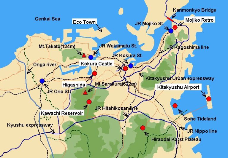
Kawachi Reservoir Trail
The Kawachi Reservoir is located in Kitakyushu-city, Fukuoka-prefecture, was constructed for the
industrial water supply to Yawata Steel Works.
The first-class civil construction heritage, the triggered the registration of World Cultural
Heritage of Sites of Japan’s Meiji Industrial Revolution.
The dam was constructed at the Okura River and upper stream of the
dam was expanded and making the 7milion cubic metre reservoir.
There is a promenade around the reservoir can be enjoyed trail, which is about 7 km in circumference.
And also a rental cycle is used.
 |
 |
 |
 |
 |
 |
 |
 |
 |
 |
 |
 |
 |
 |
 |
 |
 |
 |
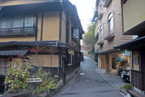
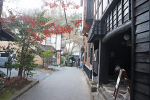
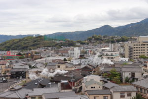
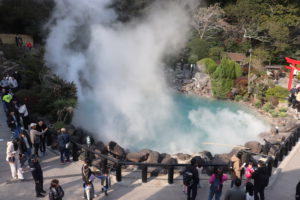
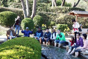
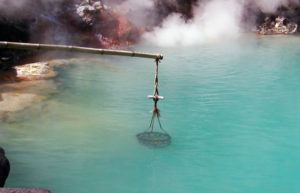
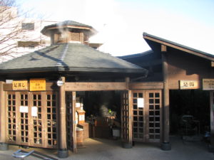
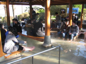
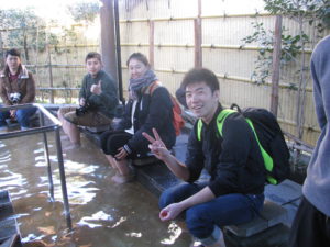
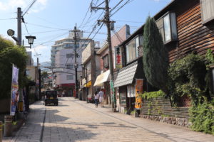
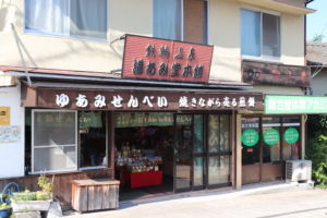
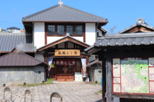
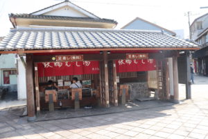
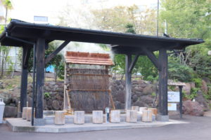
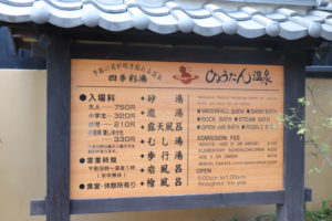
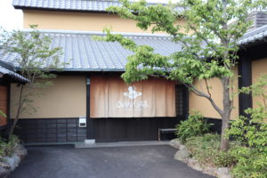
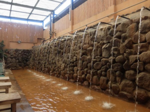
Onsen district Trail at Beppu Kannawa Onsen
Kannawa Onsen is one of the Beppu hatto Onsen ( 8 Onsen) and in Oita-prefecture. Beppu has
the largest hot spring output in Japan, and most of the hot springs are concentrated in Kannawa
Onsen. Kannawa Onsen still retains a strong image of a hot spring resort, with retro townscapes
and many of the Beppu Hells tour area. The area was developed in the 12th century and you can
feel Japanese traditional Onsen culture.
 |
 |
 |
 |
 |
 |
 |
 |
 |
 |
 |
 |
 |
 |
 |
 |
 |
 |
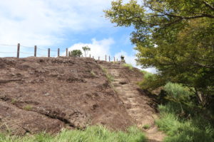
Mount Komunji Trail
Mount Komonji is very close to JR Kokura Station and the height is 366 metre from the sea level.
The hiking courses are developed from Adachi-yama forest park to the top of the mountain.
It is very easy hiking and takes about 60 minutes.
 |
 |
 |
 |
 |
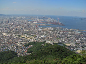 |
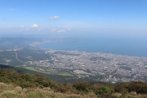
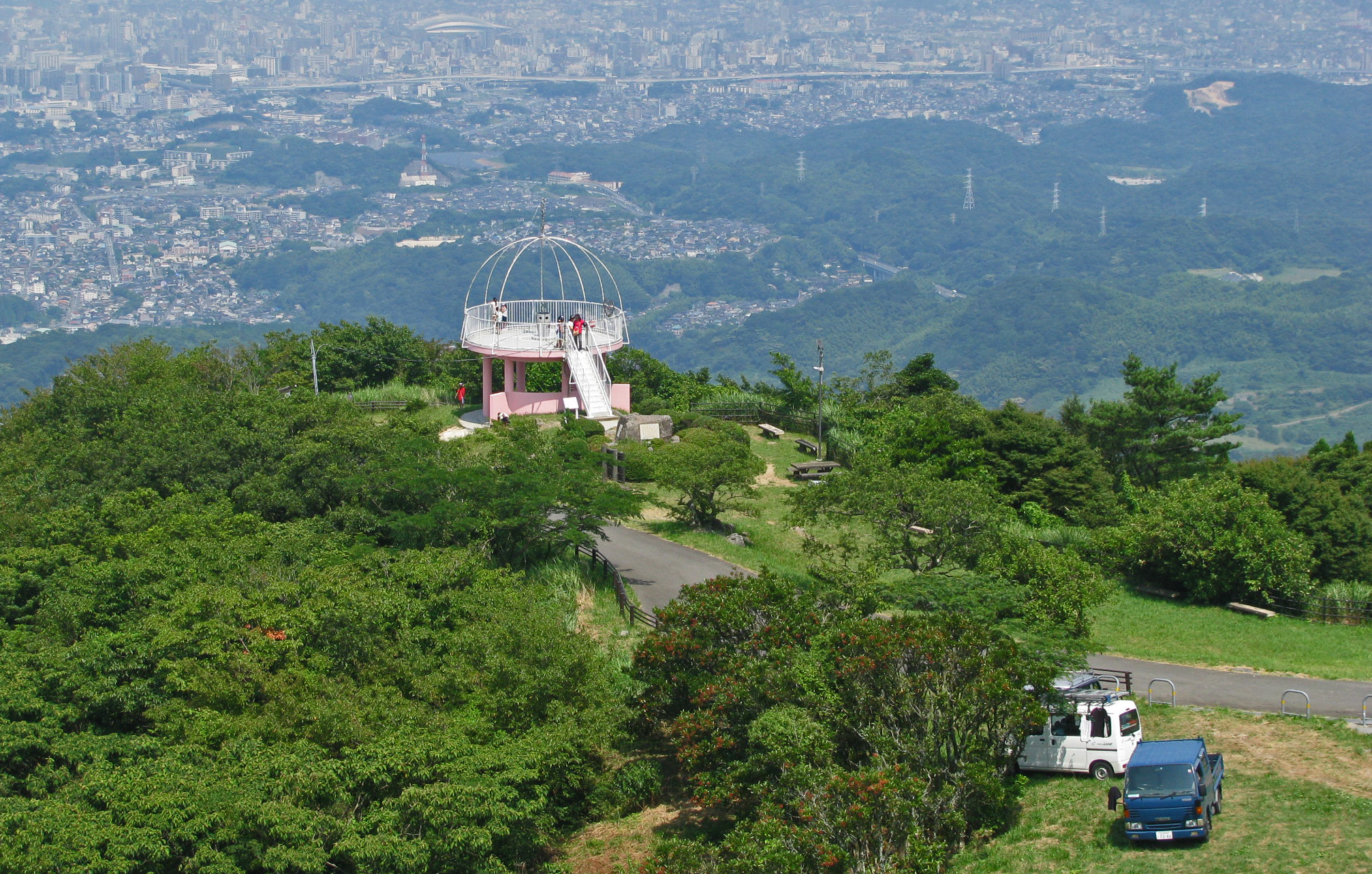
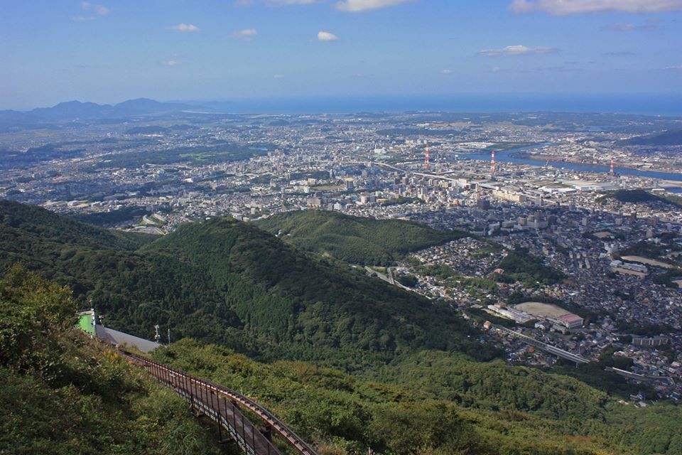
Trekking in Mount Sarakura
Mount Satakura is a part of Kitakyushu Quasi-National Park and is located in Yahata-higashi.
The height of the mountain is 633 metre from the sea level. The 8 courses have developed from
Mount Sarakura Cable Car Station to the summit of the mountain. It takes about 120 minutes
and form Cable Car Station to the top of the mountain.
Spectacular view from the summit of mount Sarakura can be enjoyed.
 |
 |
 |
 |
 |
 |