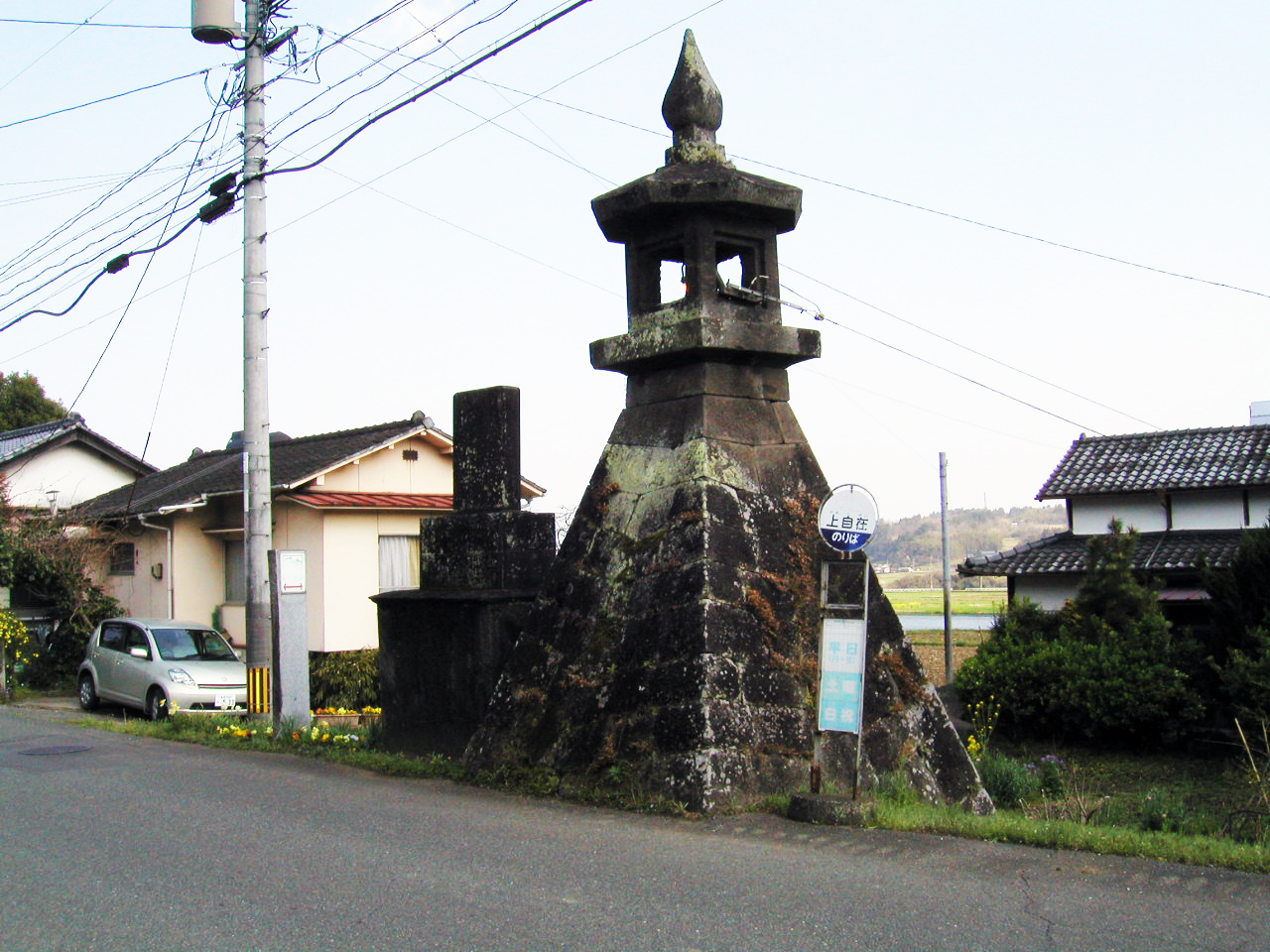
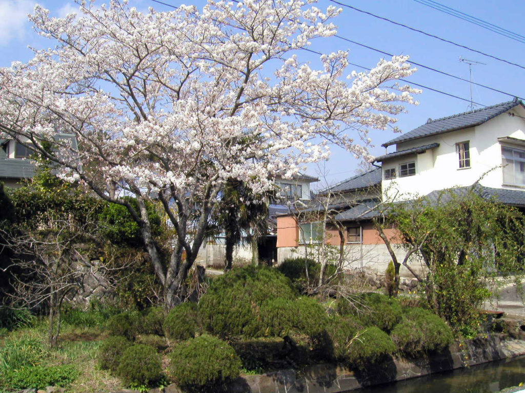
Bungo-ono and Ogata travel guide
Okubungo is a Nature-blessed region at Ono River basin, the northern part is surrounded by
Aso & Kuju Mountains. Bungo-ono and Ogawa are located in the southern part of Okubungo.
Bungo-ono and Ogata
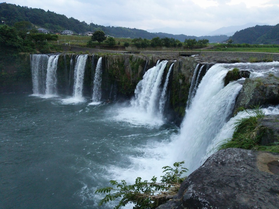
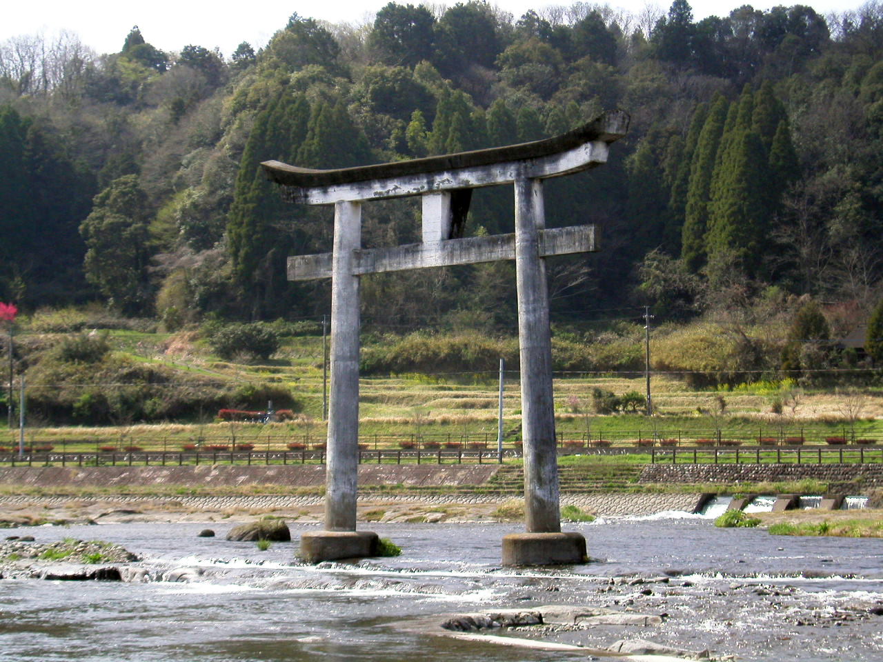
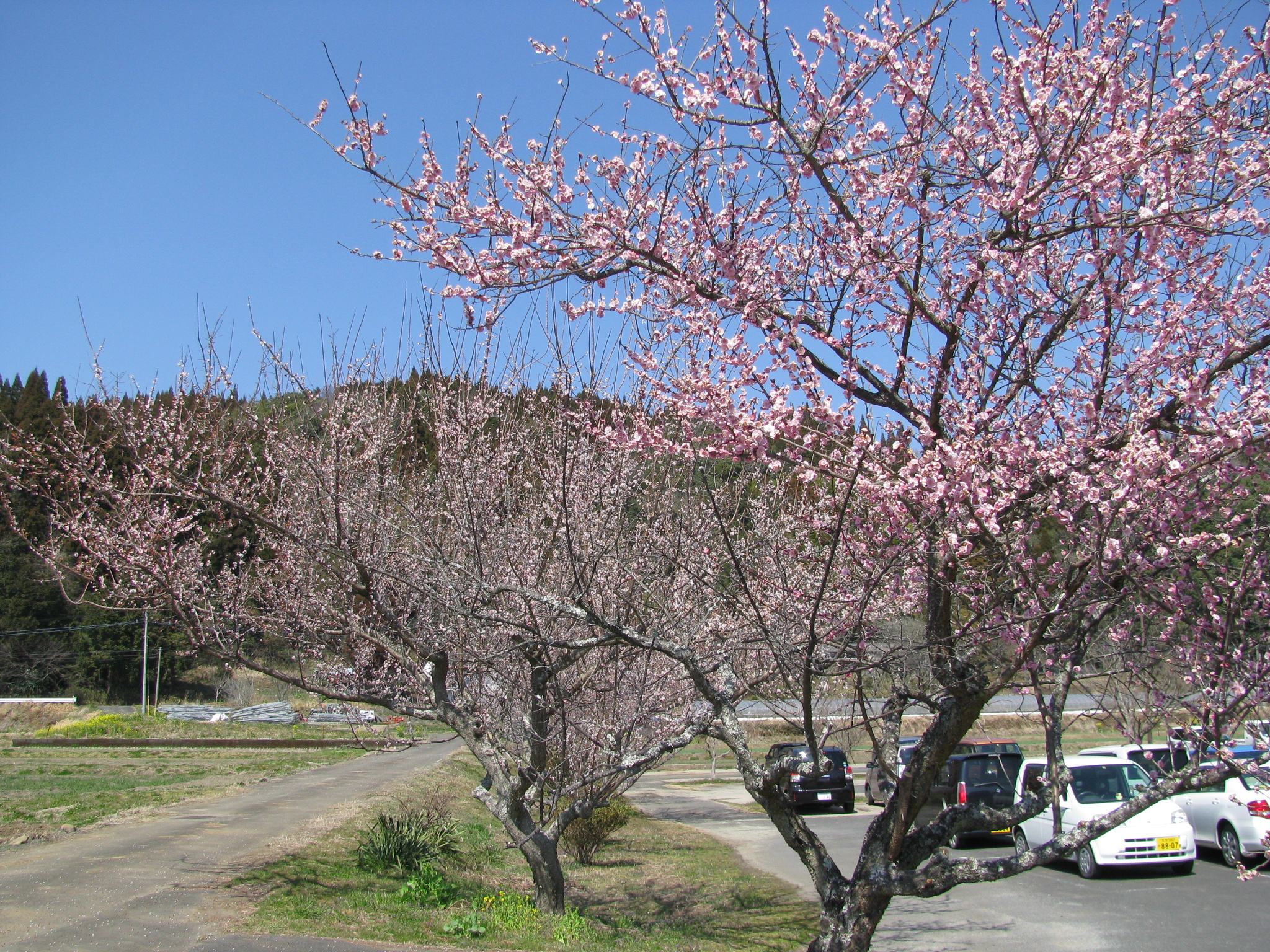
In the Ogata River, running through the center of the Ogata plain in Oita Prefecture
 |
 |
 |
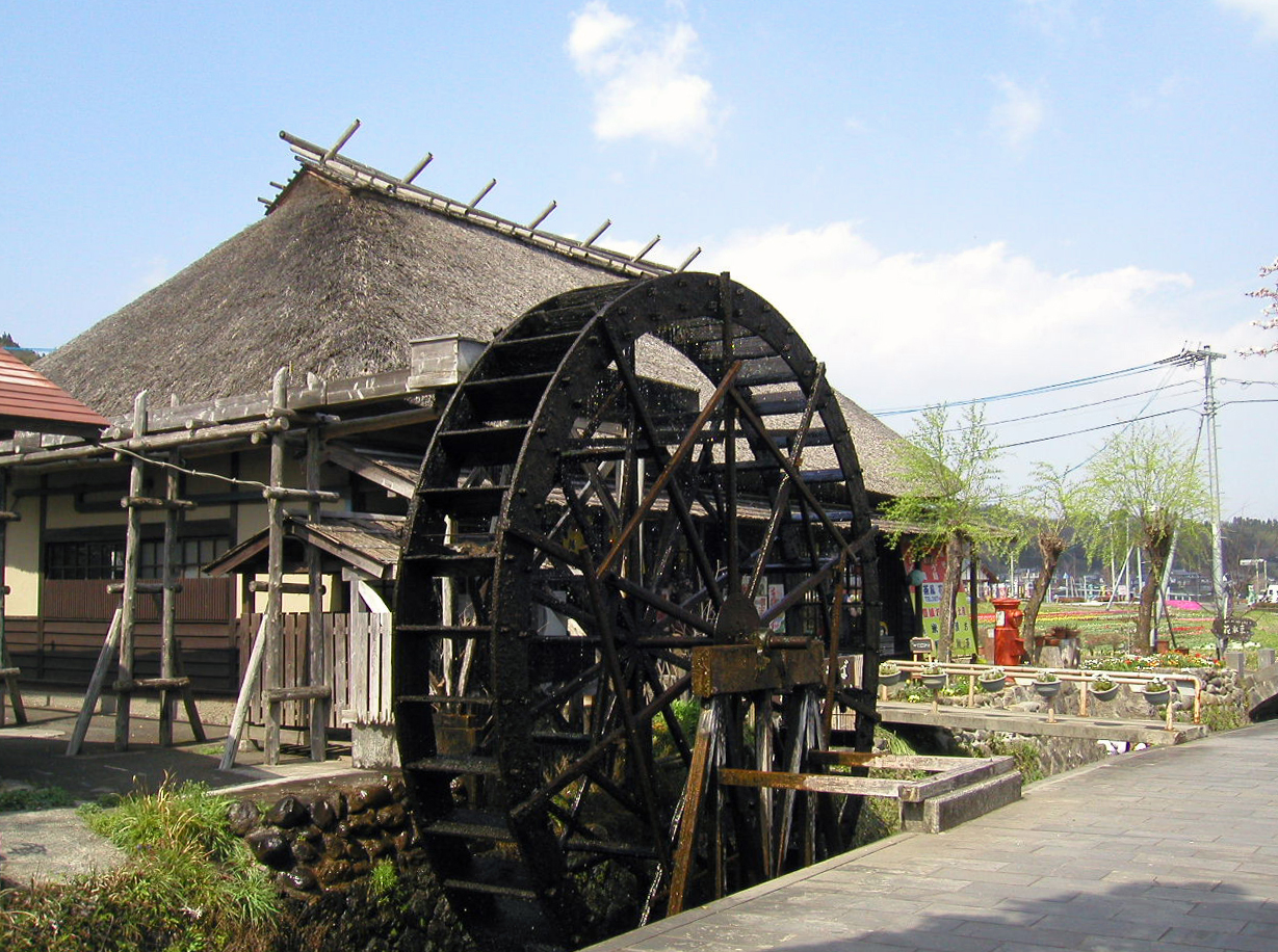
Ogata-machi
 |
|
|
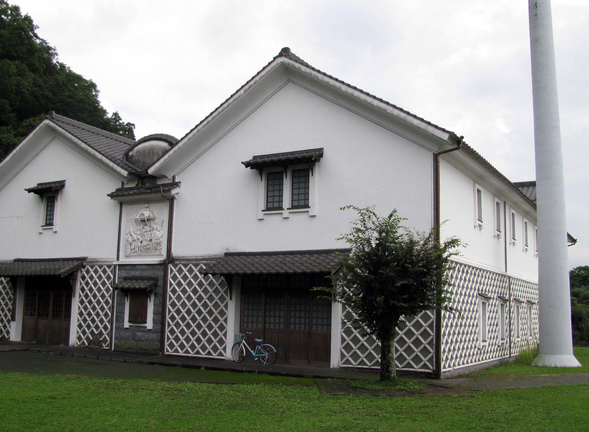
Okubungo Ogata-so
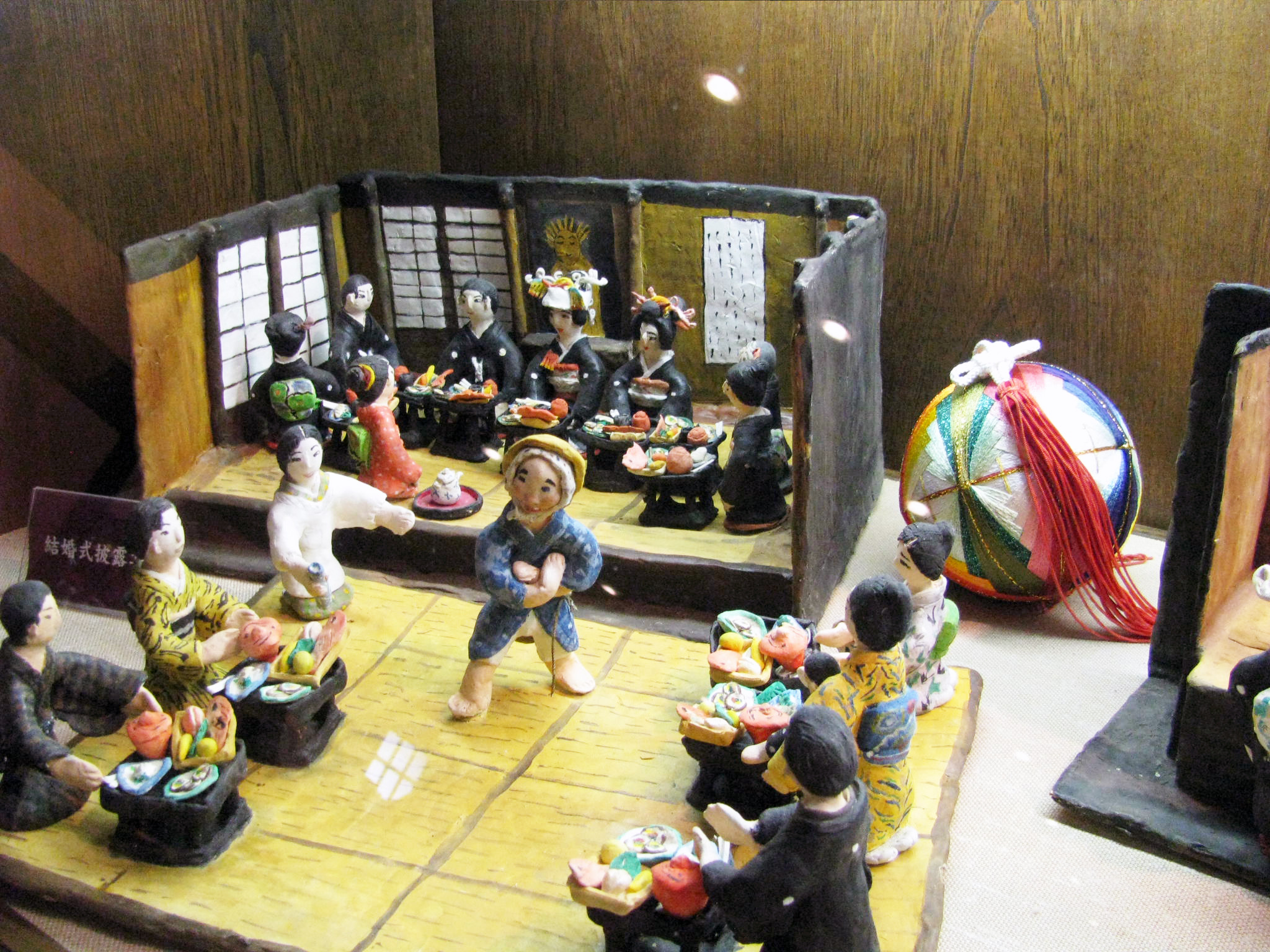
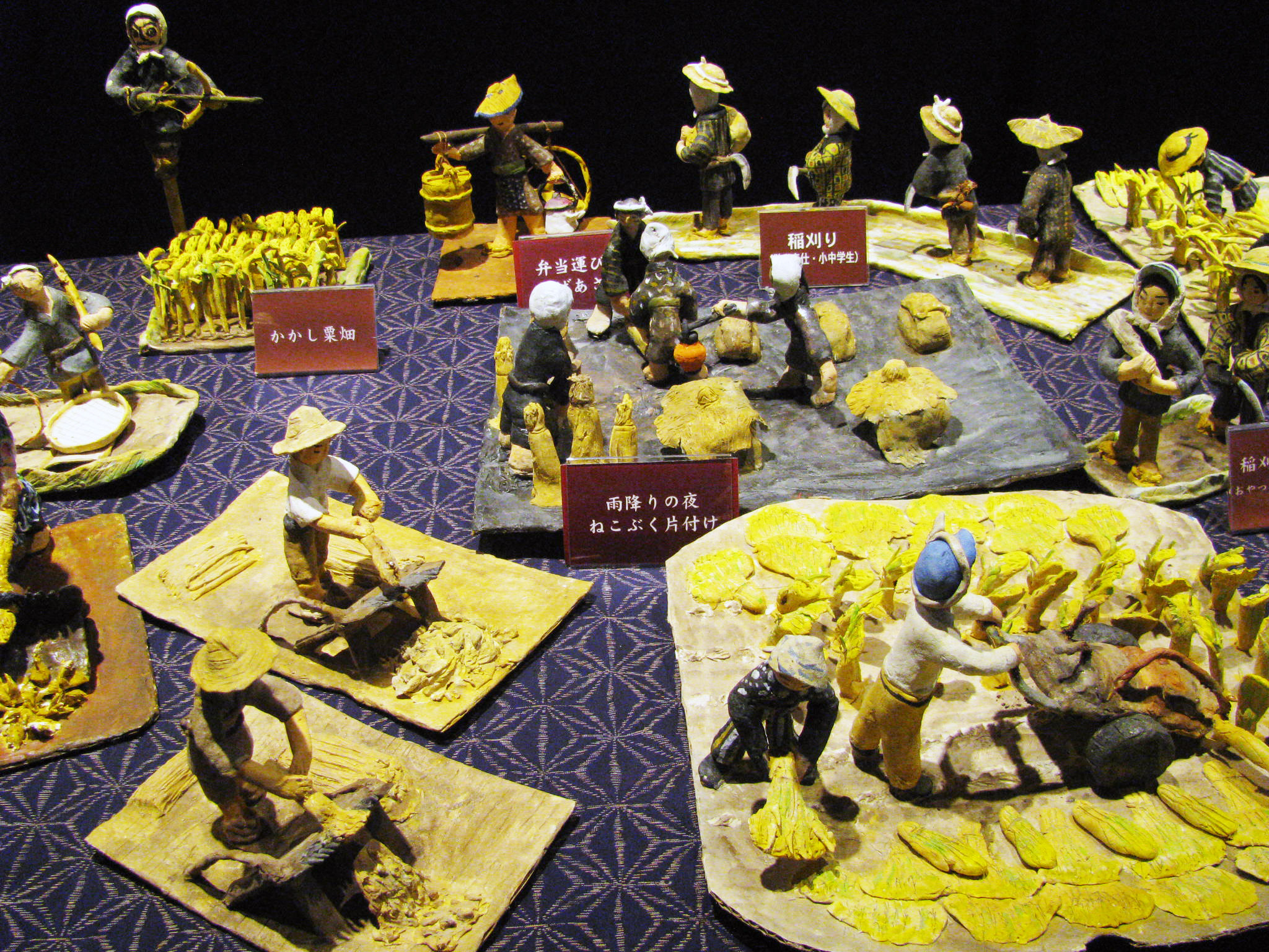
| Densyokan Building | Kinu-san Clay doll | Kinu-san Clay doll |
 |
 |
 |
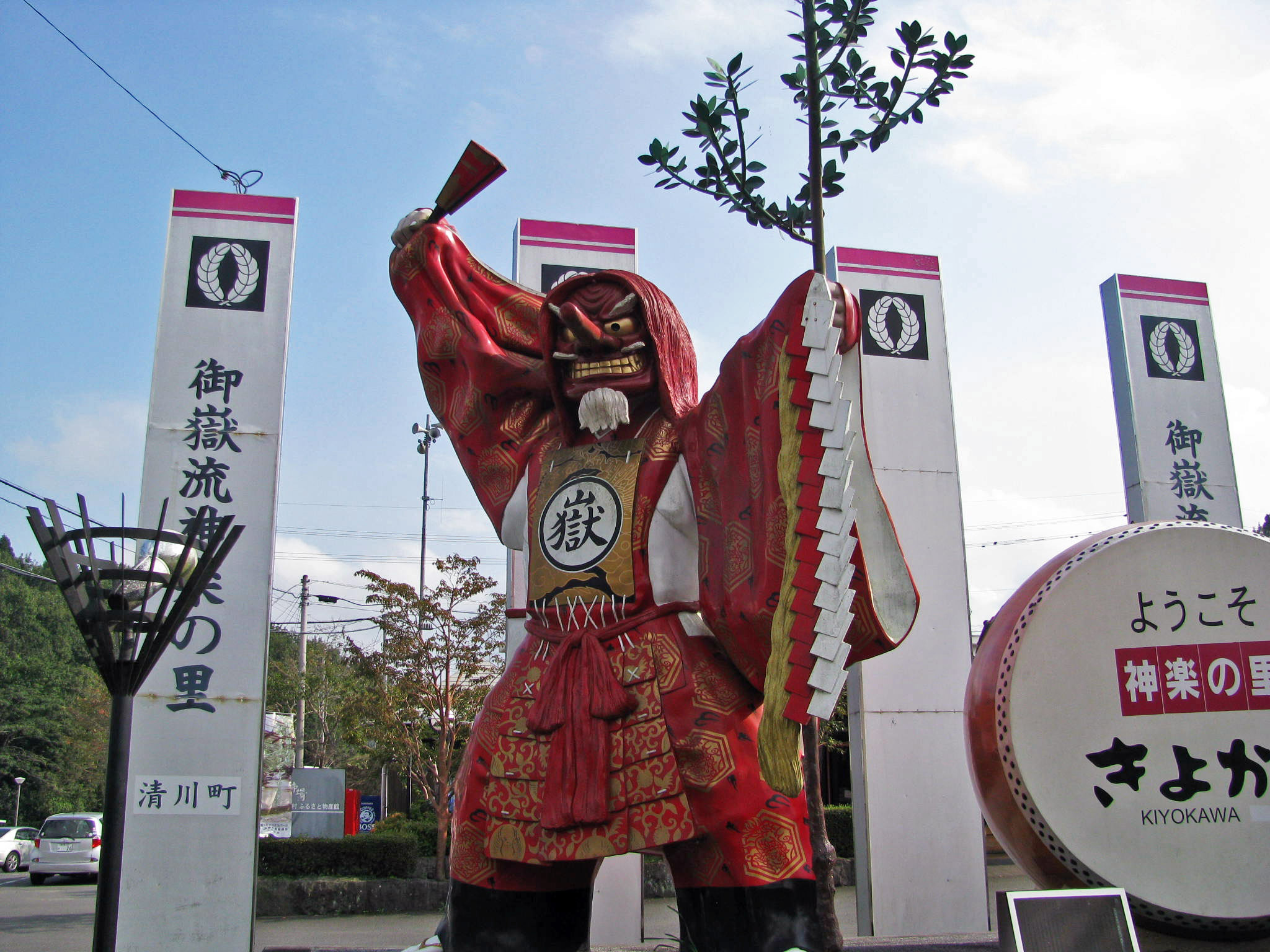
Kiyokawa
|
Michino-eki, local shopping center |
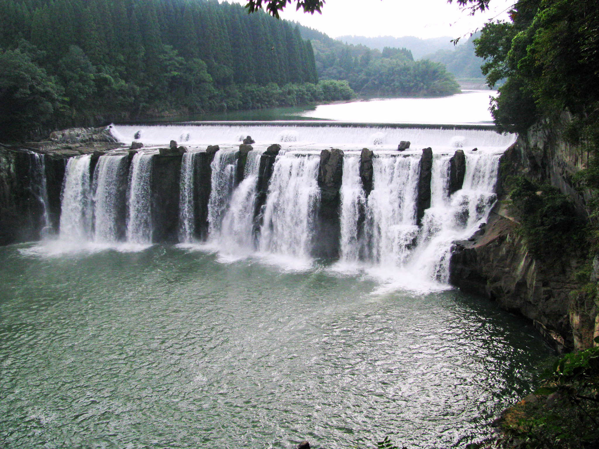
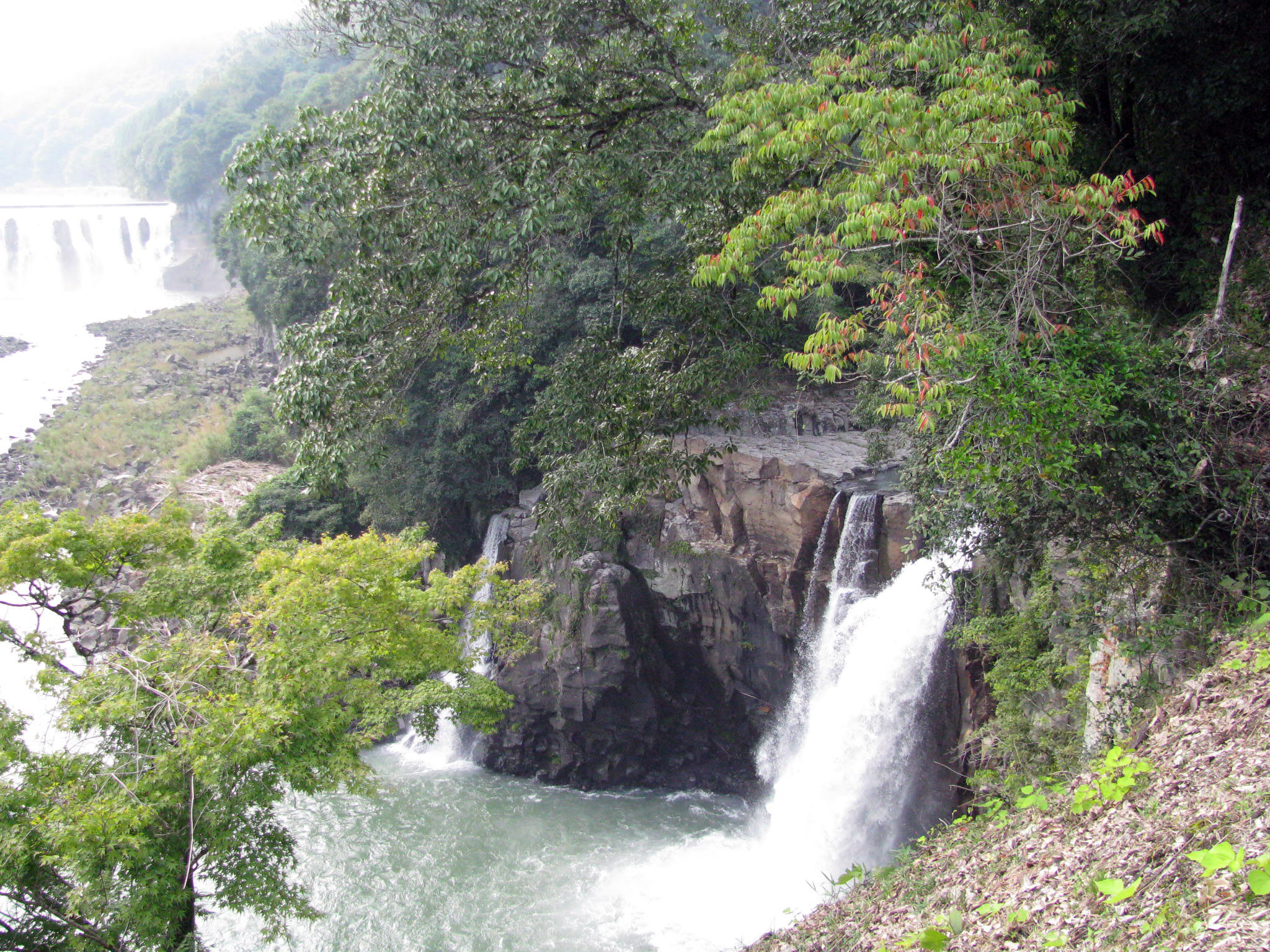
Chindano-taki Water Fall | Chindano-taki Water Fall |
 |
 |
 |

Kusu and Kokonoe
Okubungo is a Nature-blessed region at Ono River basin, the northern part is surrounded
by Aso & Kuju Mountains Kusu and Kokonoe are located in the south-west side of Okubungo.
usu including Kokonoe
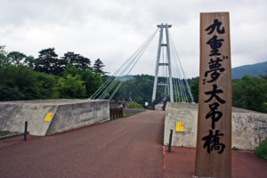
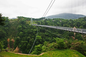
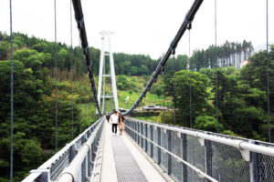
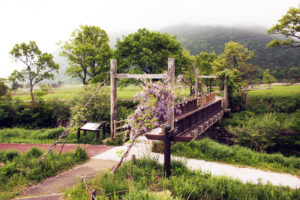
The longest pedestrian suspension bridge in Japan and the 2nd leongest in the World
Splendid and beautiful view from the thrilling sunpension bridge over the Naruko river valley.
 |
 |
 |
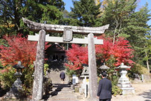
Have you ever seen a wild white boar? The wild white bore at the Shrine has function as both
guardians and messengers for the deities at Shinto shrines. The white boars are thought to bring
happiness. After visiting the shrine, you should ask the cute boars for some good-luck blessings.
 |
 |
 |
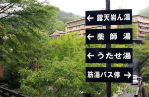
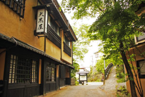
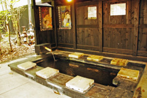
A tranquil Onsen Resort at Waita mountain foot of 1,000 metre altitude. It is said that the Onsen
was founded more than 1,000 years ago, and now there are 30 Japanese style accommodations
called Ryokan in there.
 |
 |
 |
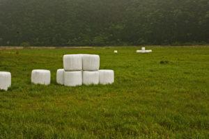
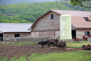
The best driving area where the beautiful scenery of Aso Kuju National Park can be enjoyed
The Handa kogen Plateau is located in the southern part of Kokonoe-cho, Kusu-gun.
Altitude is 800 to 1,200 m. By the opening of the Yamanami Highway in 1964, the area became
a nice sightseeing spot connected to Beppu Onsen and Yufuin in the north and Aso in the south.
 |
 |
 |

Nakatsu & Yabakei travel guide
Nakatsu is a small city on the north coast of Oita-prefecture, just east of its
border with Fukuoka-prefecture.
During the Edo Period of Japanese history, Nakatsu was a mid-sized domain,
and the town itself has recently expanded to include outlying towns and districts
and now comprises almost 500 square kilometers with a population of almost 85,000.
Exploring Nakatsu
Nakatsu Castle
The castle was built in 1588 on the estuary of Nakatsu river.
 |
 |
 |
Goganji Temple
The temple called Akakabe Dera literally means red wall.
 |
 |
 |
Exploring Yabakei
Kyoshuho
The approximately 1 km high monolithic rockey mountain.
 |
 |
 |
Ao-no-domon
The tunnel built by a monk Zenkai in Edo period, spending 30 years.
|
|
|
|
Rakanji Temple
A historic temple built on the top of the mountain in 645.
 |
 |
 |
Shin-yabakei
Called Hitomi Hakkei, the scenic spot.
 |
 |
 |
Maple Yaba Cycling Road
Cycling road built on the site of the old Yabakei Railroad.
 |
 |
 |

General information
| Address | City hall : 14-3 Toyoda-machi, Nakatsu-city, Oita-prefecture |
| Access |
60 minutes by a vehicle from JR Beppu 60 minutes by a vehicle from Yufuin 40 minutes by a vehicle from Bungo-takada-city 40 minutes by a vehicle from Usa-city 60 minutes by a vehicle from Kitakyushu-city 100 minutes by a vehicle from Fukuoka-city |
| Population | 83,000 population density 170 |
Home Tailor-made tours Study tours Christian Pilgrimage tours Golf tour Kyushu tour packages

